Dashboard and maps
The overview page and the maps of satellites and hosts.
Dashboard
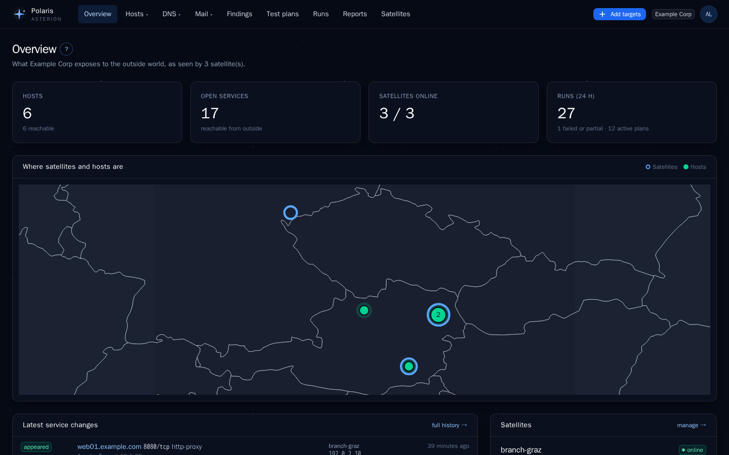
The dashboard of the current tenant shows the state at a glance: hosts (and how many are up), open services, satellites online, enabled plans, runs and failed runs of the last 24 hours, the map, the most common open ports, the latest service changes (appeared, disappeared, changed) and the latest runs.
Maps
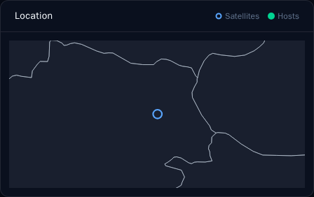
Maps appear on the dashboard, the satellite list, the satellite page and the host page. They are drawn in the browser from a world map that ships with Polaris — no map tiles, no external requests.
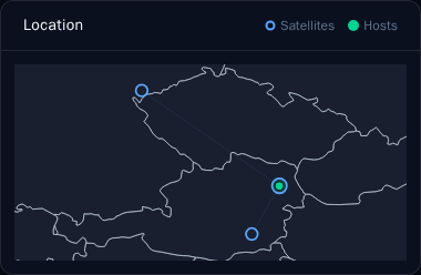
- Satellites are rings, hosts are dots. Hosts at the same place are grouped into one dot with a count; hovering lists them.
- A line joins a host with every satellite that watches it.
- The map zooms to the points it shows and grows to the whole world when a point far away appears.
Where a location comes from
The first source that has a value wins:
| Object | 1. by hand | 2. automatic | otherwise |
|---|---|---|---|
| Satellite | coordinates set on the satellite page, or looked up from its address | RIPEstat geolocation of the public address it connects to Polaris from (none when that address is private) | not on the map |
| Host | coordinates set on the host page, or looked up from its address | RIPEstat geolocation of its first located public IP | not on the map |
Both locations are approximate when automatic: IP geolocation often points to the provider’s site, not the machine.
Set a location by hand
Under each map, Set location by hand opens a small form (editors for hosts, tenant admins for their satellites, operators for global ones):
- Address — stored with the object. Look up address turns it into coordinates through the address lookup service of the system settings (Nominatim, Photon, an own server, or off).
- Latitude / longitude — typed in directly; Save coordinates stores them. The address stays as a note.
- Empty coordinates go back to the automatic location.
Privacy
Only the entered address is sent to the lookup service, from the Polaris server, and only when someone clicks Look up address. Answers are cached for a day. With off nothing is sent anywhere.